What is the ground mapping?
Ground mapping all the necessary operations using the tools and equipment for the calculation and measurement of land as field operations. In underground mapping or ground mapping such as angles mapping, two -point height differences, length and distance measured, the shape and dimensions of the toll are also specified and finally drawn to the construction of the alignment and flatness so that the desired building can be built.

Use of ground mapping
Steps to implement ground mapping operations
To execute ground mapping operations initially mapping experts after land delivery from the employer; They are located at the desired location and identify the area to identify and identify different parts such as area and roads, and then build a mapping station, which is often done with prefabricated concrete that meet the required standard and is installed in different areas. In the next step, we need to harvest tolls, one of the main stages of ground mapping operations. In this stage, all natural complications and ... at the ground level are harvested based on the accuracy and scale required using the camera and in the final stage the data is transferred to the software environment for drawing tolls.
Tools required for ground mapping
Laser meter
Today, with the advent of technology, laser -length or laser meters is used, especially to measure long lengths of this tool based on the reflective wave sending and receiving. This tool also has the ability to install on a deodioleite camera and is done by a prism, and how the laser meter is adjusted to the first point. Slow.
The angle of the theodolite camera
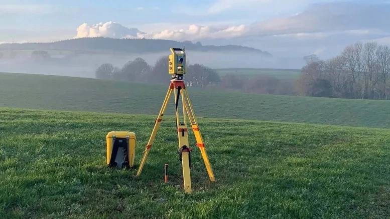
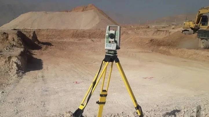
Theodolyte camera is used to measure angles because theodolyte camera can measure horizontal and vertical angles between two stretches, so it is enough to install the camera on a tripod and adjust the camera to a point or so -called camera alignment between the two.
NEW Camera
Used for alignment from the Newu camera, which is mounted on a tripod like theodolyte camera to measure the height difference between the two points with high precision. To measure the difference between the two points, we need a long ruler that we call the index we must first align the camera between the two points and then grab the second point. Come.
Meter
Total Station Camera

The ground mapping with the camera
The most important purpose of mapping with the camera is to determine the relative position of the ground level. It can be easily said that the coordinates of the points of a land can be obtained in three dimensions. However, in some mapping methods, which are generally satellite mapping and astronomical measurements, the time is considered to be the same. And various equipment is used to measure the surface of the ground to obtain the data needed for the next step to calculate the results. To obtain the results and calculate the data, different methods are used in all of these methods, and then if they are accepted, the mapping and the diggroup of the mapping and the diggroup ... Or DTMs are offered. As we mentioned, land mapping is done with a camera with various devices and equipment.

